12 Funny Maps You Won't See In School
Friday, Aug 28, 2020, 2:55 pm
The last time many of us saw a map or atlas is when we were in school. We used maps to learn where different continents, countries, oceans, deserts, etc. located in the world. Those maps hardly taught us anything new except the Earth's geographical or demo graphical information. What you are about to see now on the topic are 12 funny and illustrative world maps that tell us more about the world's reality! How Americans see different countries in the world? What does the rest of the world think about United States? Keep reading the topic to know answers via maps to more such intriguing questions!
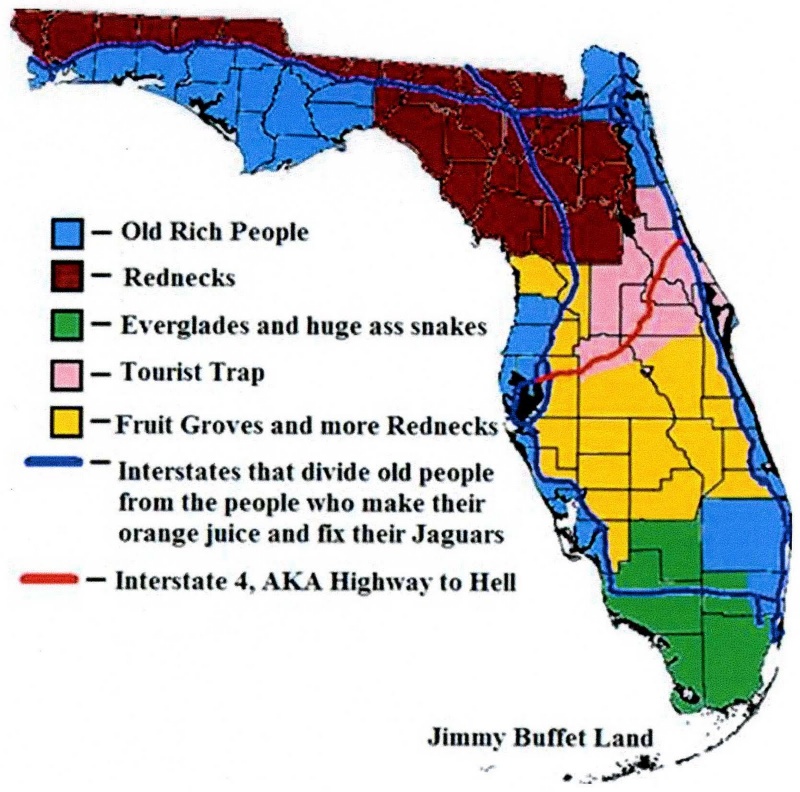
#9 Florida Explained
Everyone knows that people from the east coast tend to retire to Florida. Here we've got it broken down as to which snowbirds retire to which part of the sunny state. Looks like the old rich people like it further south, while the rednecks stay further north. In the middle is where all the tourists seem to go.

Report


